Survey, terrain and access
Provide boundary and topographic survey, contours, slopes, drainage paths, flood information, vegetation, roads, laydown areas, equipment access, buried/overhead services and site constraints.
Geotechnical and foundation basis
Provide investigation data, soil layers, groundwater, rock/refusal, corrosivity and test requirements; identify candidate piles, ground screws or concrete foundations without treating them as pre-approved.
Module and table geometry
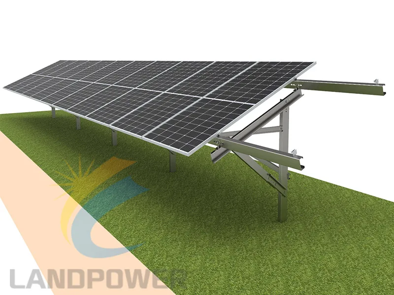
State exact module dimensions, mass, frame and mounting guidance plus portrait/landscape orientation, modules per table, tilt, height, row spacing, gaps and tracker-free fixed-tilt intent.
Loads, code and design life
Provide location, governing code, wind, snow, seismic, dead, thermal and construction loads, terrain/exposure assumptions, design life and the responsible calculation and approval route.
Materials and corrosion
Specify aluminium or steel route, grades, coatings, stainless fasteners, atmospheric and soil exposure, galvanic interfaces, cut edges, maintenance and any project evidence required.
BOM, civil scope and logistics
Request layouts, member and connection drawings, calculations where included, test plan, full BOM, installation guidance, tolerances, spares, packing, container plan, phased delivery and written exclusions.

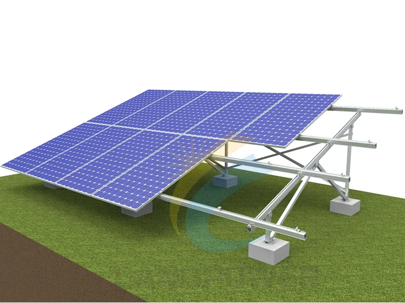
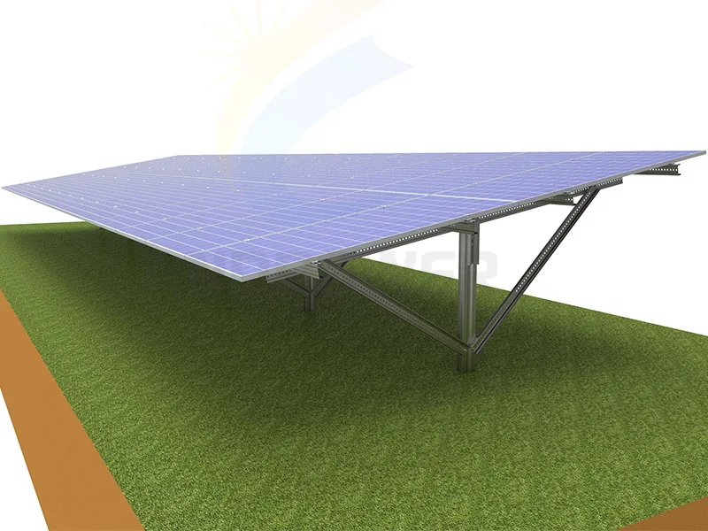
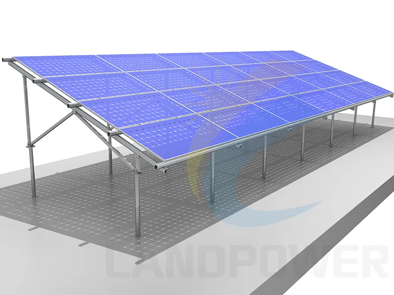
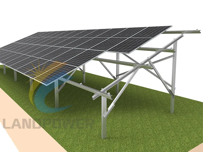
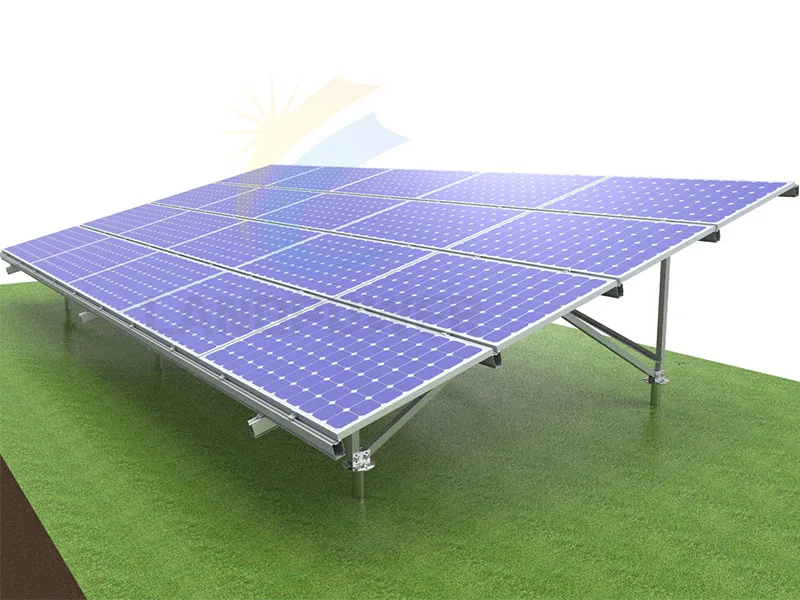 Ground Mounting System